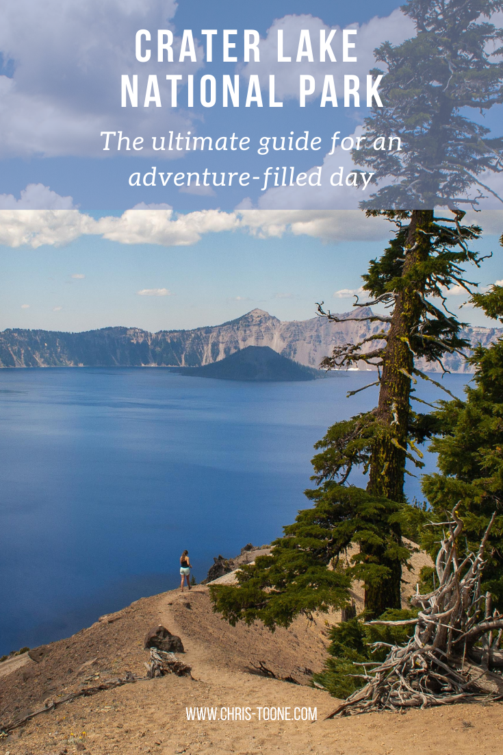
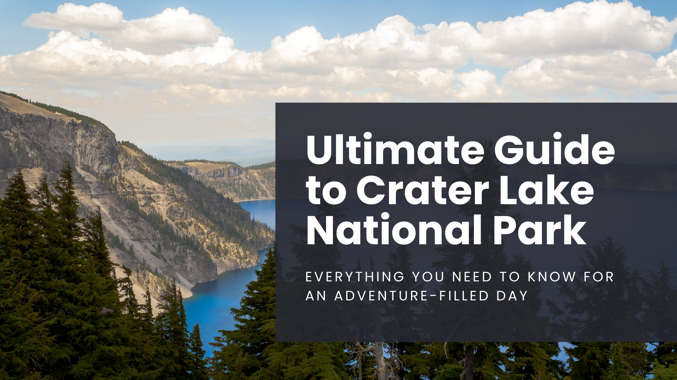
The Ultimate Guide to Crater Lake National Park: Everything you need to know for a day full of adventure
All information below is up to date as of April 2023.
A mere 42,000 years ago, Mt. Mazama rose through the present-day Oregon wilderness to 12,000 feet above sea level. Fast forward 5,000 years, the volcano experienced its largest eruption ever, spewing magma as far as 40 miles while spreading ash as far north as Canada and as far south as Nevada.
The sheer magnitude of this eruption caused Mt. Mazama to lose so much of its structure that it could no longer support the peak of the volcano, forcing it to cave in on itself and thus creating the caldera that now holds what is known as Crater Lake. Gradually over the years, snowmelt and rain began to fill the new hole in the ground, forming the deepest lake in the United States of America (1,943 ft/595 m).
Here’s how to make the most of your time at Crater Lake National Park and some tips and tricks to avoiding crowds!
WHEN TO VISIT
Crater Lake sits at an elevation of 6,178ft. and gets an average snowfall of 48ft., meaning that the park is buried from October through June. The southern entrance is the only way to access the park during this time and the rim road turns into skiing trails.
This makes July through September the prime months to visit, with high temps of around 67 degrees during the day and as low as 40 degrees at night.
It’s important to note that the number of visitors to Crater Lake National Park has skyrocketed in recent years. The National Park Service reported that annual totals jumped as much as 23% between 2015-2016, so if there’s a need for overnight accommodation in your itinerary, be sure to research and book in advance.

Wizard Island from above
GETTING THERE
Crater Lake National Park is located in southwestern Oregon. Medford is the closest major town (to the south).
From Eugene:
2.25 hours drive time
The fastest route is to take OR 58 through Oakridge, then route 97 to 138
Alternatively, you can also use I-5 to Wilbur before picking up 138 east
Enter at the northern gate
From Medford:
1.25 hours drive time
Follow OR 62-E the entire way
Enter at the southern gate
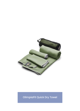
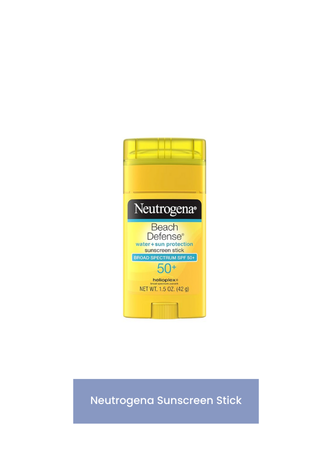
WHAT TO PACK
With the high elevation, exercise caution on sunny days. Bring a good amount of sunscreen along with a hat and sunglasses, especially if you plan on spending your afternoon exploring by foot.
Pack a picnic lunch and enjoy the views at one of the several overlooks along the rim road.
There are plenty of places to re-fill water bottles along the way, but be sure pack enough to get by. It’s easy to get dehydrated between the altitude and sunshine.
If you plan on hiking, bring bug spray. We didn’t have any problems, but always better to be safe than sorry!
Don’t forget your camera… just remember: adventure first, pictures second.
Here’s what we brought with us:


ENTRANCE FEES
The current rates are as follows (as of February 2023):
$20 per vehicle (November 1 to mid-May) or $30 per vehicle (mid-May to October)
$25 per motorcycle (May 22 - October 31) or $15 per motorcycle (November 1 to mid-May)
Annual Park Pass accepted ($55)
Consider purchasing your pass ahead of time online which can be a big asset if visiting during peak hours, saving you from having to wait in line at the entrance booths.
HOW TO EXPLORE THE PARK
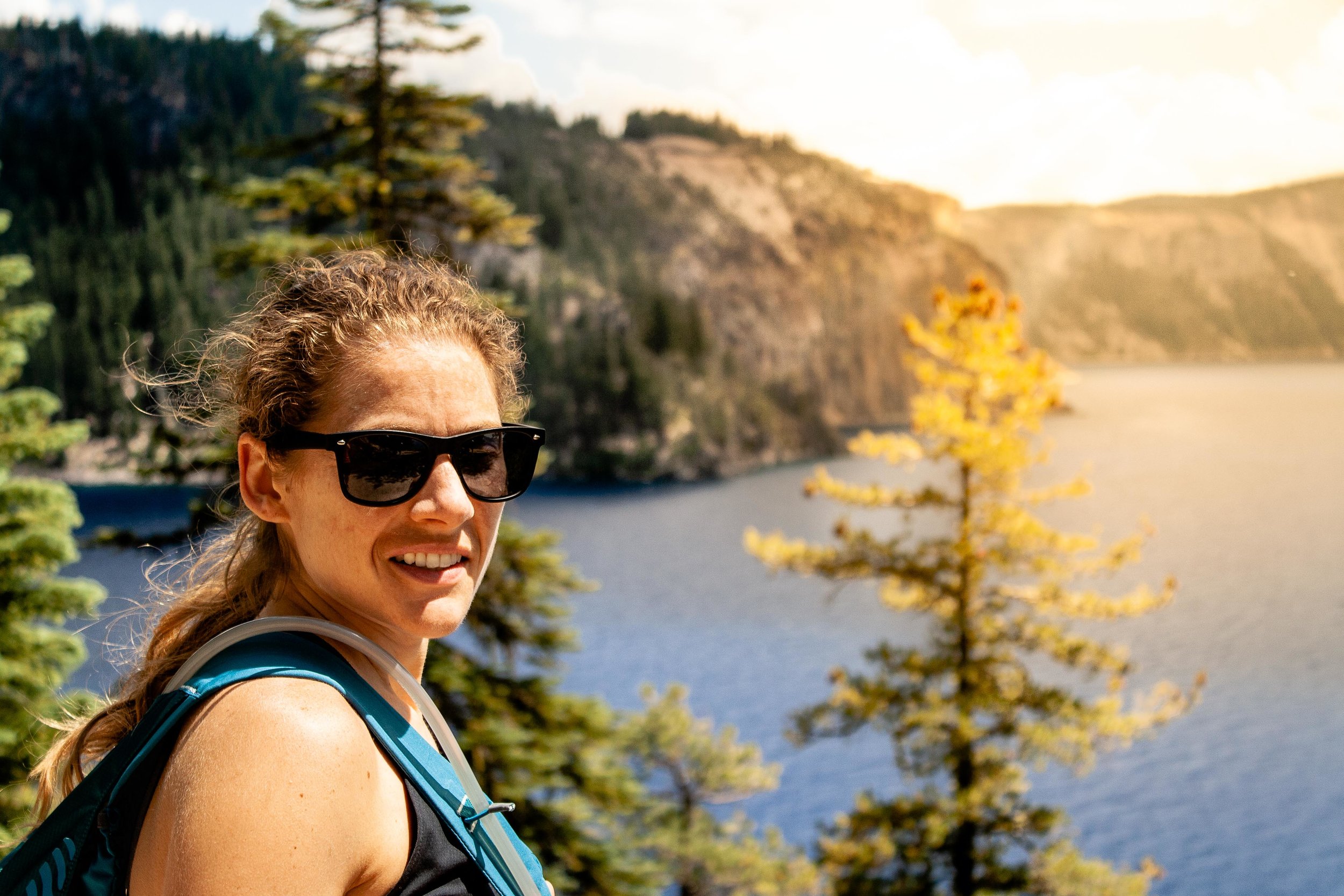
Right off the bat, my number one piece of advice would be to get there early. This will provide a few moments of solitude to appreciate the surrounding beauty. We left our home in Corvallis at 5:30 am, determined to get at least one hike completed before the crowds descended upon the park and it ended up paying dividends.
The best, and easiest, way to explore is to plan to drive around the rim. This 32.93-mile road circumnavigates the entire lake, offering the chance to pull off as you please and enjoy the views. We entered at the northern gate and decided to drive counterclockwise. Our well-rounded plan included several shorter hikes, covering an overlook, a waterfall, and swimming in the lake. Here’s how it went:
The Watchman Peak Trail
A brief word to the wise: this trail is popular. It was the first thing we did after arriving and we enjoyed the views at the top with two or three other groups. When we passed the trailhead on our way out of the park, it looked like a small army of ants climbing to the top.
The trailhead is located at 3.7 mi. north and west from the Rim Village. The path starts from the southern end of a paved parking lot, sharing it with the Watchman Overlook Viewpoint.
The trail itself is a 1.6mi. roundtrip trail with 387ft. of elevation gain and is a steady incline the entire way. Small children and grandparents were able to get up and down without hiking poles, but the extra equipment certainly wouldn’t hurt.
From the top, you’ll be treated to vast 360-degree views from the western end of the lake. Directly below you’ll see Wizard Island, the vantage point providing the perfect view of the volcanic cone.
For more information on reaching and hiking the island, visit this comprehensive guide from Just Go Travel Studios.
Looking to the north, you’ll be able to spot other volcanos within the High Cascade range, including Mt. Bailey, Diamond Peak, and Mt. Thielsen.
Back at the bottom, we continued driving southeast along the rim road towards the Rim Village. Bathrooms are accessible around most of the park, but they are not available at every trailhead. If you need to go, make sure to use the ones in the parking lot before leaving.
Along this route, you will run into Vidae Falls on your left. From the pull-out, you’ll be able to see the 100ft. cascading waterfall, but there’s not much more to do here other than get out and take a quick peek before continuing.
Plaikni Falls Hike
To reach the start of the trail for Plaikni Falls, turn right onto Pinnacle Road just before reaching the Phantom Ship Overlook. After driving another 1.2mi., you will see the parking area on your left. Note: There are no bathrooms available at this trailhead.
The path is an easy walk for all ages, winding 2.2mi. (round trip) through the old-growth forest before reaching Sand Creek where rushing water, wildflowers, and butterflies are waiting to greet visitors. We didn’t have any problems with mosquitoes, but reports have stated otherwise, so make sure you have the bug spray ready and available for this one.
There isn’t much space to hang out by the waterfall, especially if there is a lot of traffic on the trail, but it’s worth it to have a look.
Due to its short length and popularity, the trail can become quite congested during peak hours. As is the case with most hikes, the earlier you can arrive, the better.

View of Plaikni Falls
Lunch at Victor View
An unmarked overlook, Victor View provided the perfect spot for a quick lunch away from the crowds. Despite the heavy traffic, we only saw three other cars pull over here. It is the second pull-off (on your left) after the Phantom Ship.
There’s a short trail that has been carved out that will take you through the trees and provide you with unobstructed views across Crater Lake and towards Wizard Island, as well as Cloudcap Bay to the right. Exercise caution as the ground quickly turns from packed dirt to sand and loose stone.
This viewpoint placed us in a perfect location to take a post-lunch drive up to the Cloudcap Overlook, which can be reached by taking the highest paved road in Oregon.

Looking towards Cloudcap Bay
Cloudcap Overlook
One of the most popular overlooks in all of Crater Lake National Park, you’ll be treated to expansive westward views across the caldera once at the top. Be aware that you may have to fight a busload or two of tourists to catch a glimpse of the scenery.
You won’t be disappointed with the views if you’re able to find a spot, but the entire park is stunning so we felt comfortable skipping it this time around.
Shortly after departing Cloudcap Overlook and reuniting with the rim road, we passed the trailhead for Mt. Scott. This is the highest point of Crater Lake. Although only a 4.2-mile round trip hike, it wasn’t on our itinerary for the day due to limited time. Instead, we continued to Cleetwood Cove — it was time to get wet!
Cleetwood Cove Trail
It’s important to note that Cleetwood Cove Trail DESCENDS to the lake, meaning the way back up will be the grueling part. We passed quite a few unhappy faces on their way to the parking lot.
At only 2.2mi. round trip, the way down is quite easy via the switchback trail, with Crater Lake peeking out from between the trees. Eventually, the boat docks will appear. Continue following the trail and you will soon see where everyone is swimming.
I was surprised by how crowded it was, but I guess it makes sense. After all, who would pass up the chance to swim in a lake with a collapsed volcano beneath the surface? Not us!
After taking a dip and enjoying the water-level views, tie your laces tight to start climbing the 700ft. back to the trailhead. Pro Tip: Bring closed-toed shoes. Many parts of the trail are soft, making it difficult to navigate in sandals. Several cut-outs along the path provide an oasis-like seating area to rest and catch your breath. If you go in the afternoon, make sure to bring water and stay hydrated!
Hiking Cleetwood Cove Trail
Cleetwood Cove was our final stop of the day before leaving the park and driving home. When it was all said and done, we had spent nearly 7 hours exploring the area and cumulatively hiking 6 miles; a full day of adventure that left our legs tired, our clothes dirty, and our faces beaming with delight!
Although visitor numbers are on the rise, the park didn’t even crack the top 10 most visited in 2018, presenting the unique opportunity to enjoy Crater Lake National Park without the large crowds that other places such as Yellowstone and Zion regularly experience. We highly recommend it!
More information can be found by visiting the National Park Service website.
Have you had experiences of your own? Be sure to leave them in the comments below!
As always, stay safe & happy travels!
A friendly reminder to comply with all rules and regulations regarding National Parks. It’s up to us to protect and preserve the Earth, so stick to established trails and leave only your footprints behind! Crater Lake also attracts cyclists from around the world, so be sure to share the road and use caution when driving around the rim.
Pin this post for later!